11 km · ≈ 1,970 m of ascent
0.0 km370 mMvouni
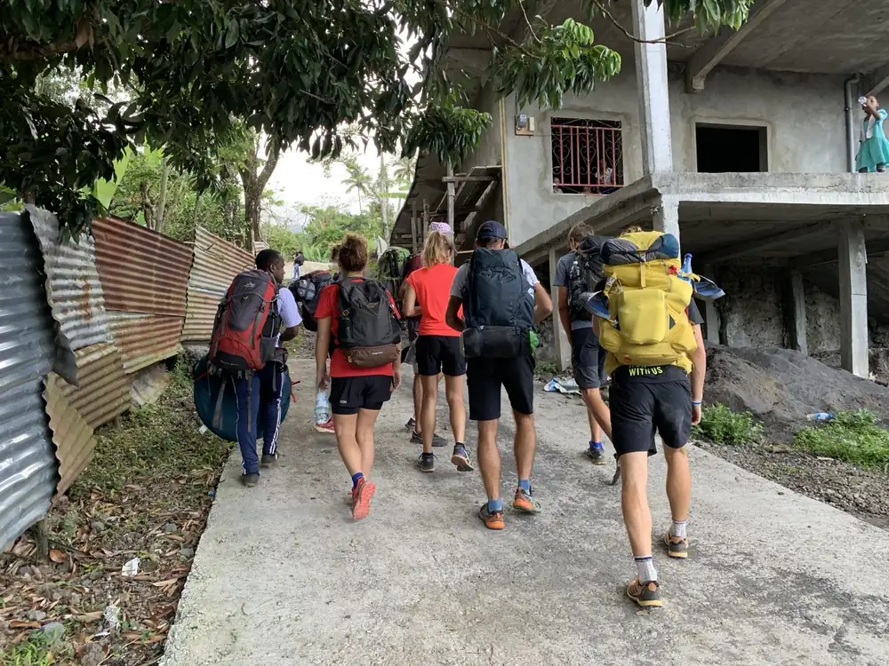
Setting off from the village
Fields and villages: bananas, coconut palms, cassava, mango trees, cloves, vanilla. A landscape shaped by the people who live here, crossed on foot from Mvouni.
- Full Climb: starts on foot
- Other tours: start by 4×4
4.9 km1,300 mOld camp
Into the cloud forest
Above the strawberry guava thickets, the dense rainforest: large endemic trees, tree ferns, orchids, mosses and lichens. The heart of the mountain’s biodiversity, and home to the Karthala scops owl.
- Full Climb: about half of the ascent

7.3 km1,600 m4×4 stop
The 4×4 stops, the walk begins
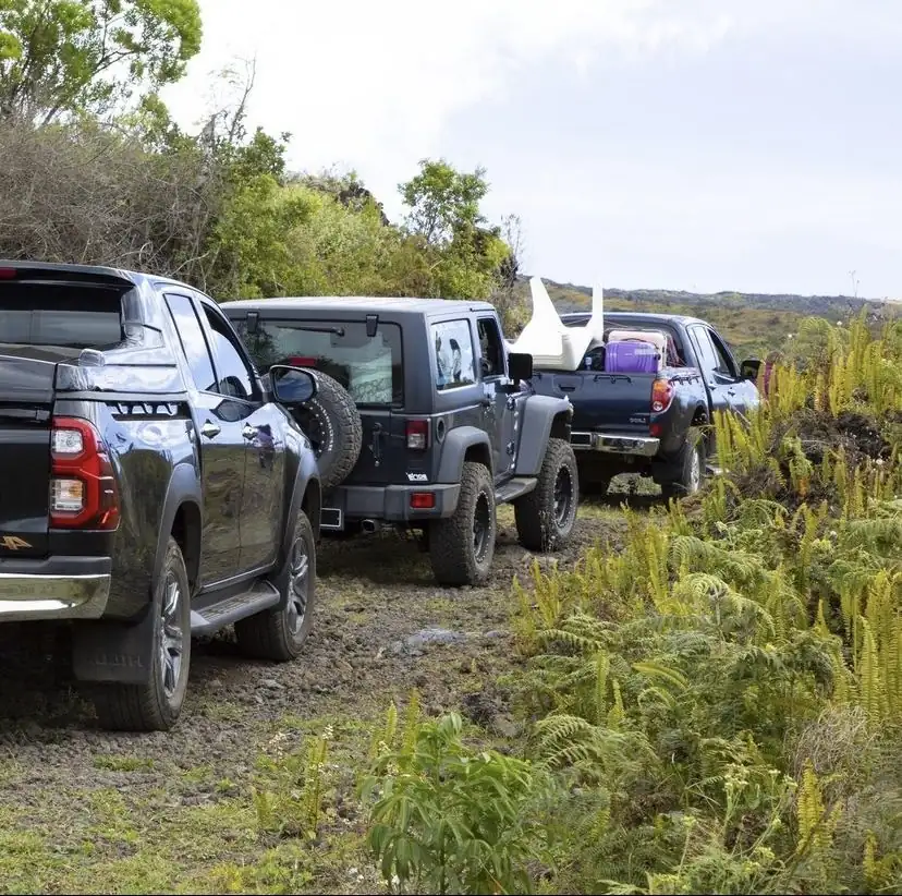
For the Soft Trek and the Bivouac, the 4×4 stops at about 1,600 m. About two hours of walking remain to the caldera. For the Bivouac, the camp is always set up outside the caldera.
- Soft Trek · Bivouac: walking starts here
8.7 km≈ 1,830 mEnd of concrete
The high heather
The shrubby savannah of giant heather (Philippia comoriensis): home to the Karthala white-eye, a bird found nowhere else.
- Zero Effort: the 4×4 continues on the upper track

11.1 km2,300 mCaldera
Into the caldera
At the end of the path, the caldera: about 3 km by 4, a set of nested collapses, with the Choungou Chahalé at its centre. Zero Effort reaches it after about 25 minutes of walking.

Karthala360 reference route, established by Discovermores. Walking times are indicative, at the pace of a trained hiker. Schematic map, not a navigation tool. Altitudes from the Karthala 360 website (terrain model); the full GPX file is sold in the shop.